
5 of the Best South West Coast Path Walks in Cornwall
The South West Coast Path runs for 630 miles from Minehead in Somerset to Poole Harbour in Dorset, and some of its most dramatic stretches are in Cornwall. These five walks cover a range of difficulty, and every one has a way back to the start.
Before you go: distances are approximate, and the coast path feels harder than the miles suggest because of constant climbs and descents. Wear proper footwear, carry water, and use an OS map or app. Paths near cliff edges can erode, so follow any diversion signs.
1. Mousehole to Lamorna Cove
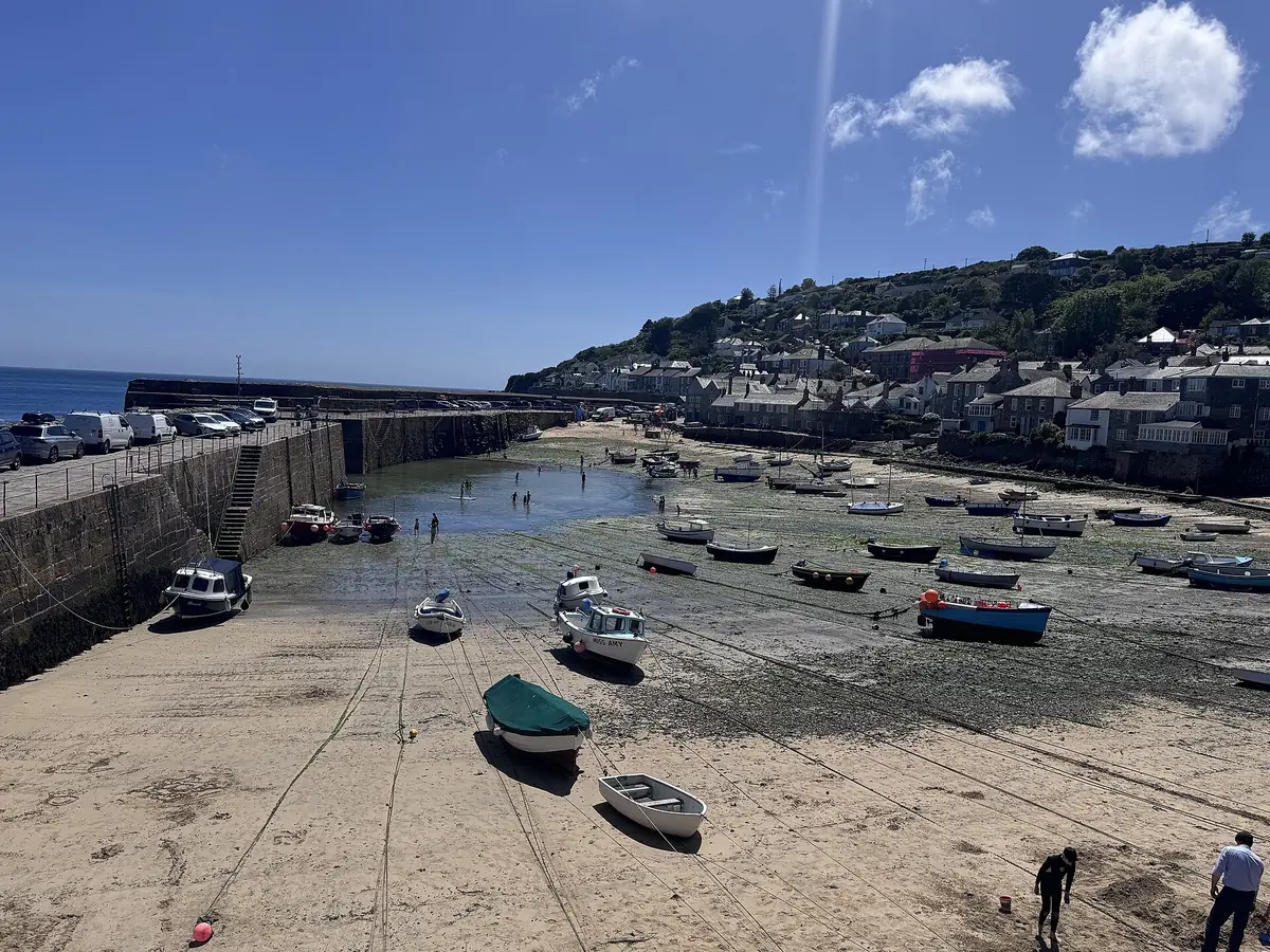
About 2.5 miles one way · Easy to moderate
Start in the tiny fishing village of Mousehole, climb past Penzer Point and follow the path through woodland and wildflowers to the granite cove at Lamorna, where there's a café. Return the same way. In summer you can also check for a bus back from the main road above the cove.
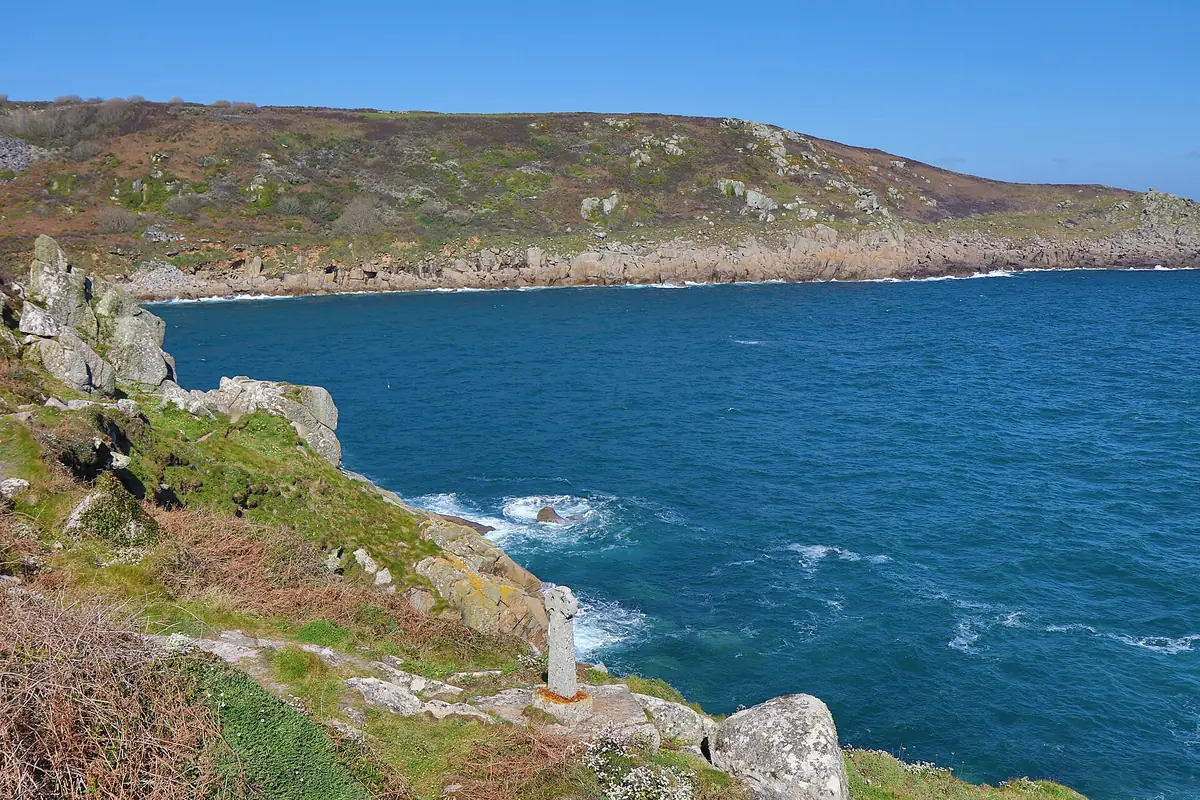
2. Lizard Point to Kynance Cove
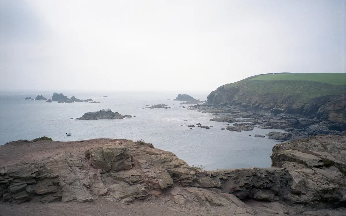
About 1.5 miles one way · Easy
A level, mostly clifftop walk from mainland Britain's most southerly point to Kynance Cove. Look out for choughs, the red-billed crow that's a symbol of Cornwall. You can make it a loop by coming back inland through Lizard village.
3. Port Isaac to Port Quin
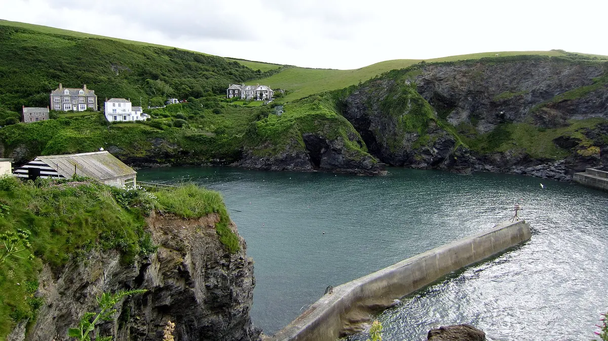
About 3.5 miles one way · Strenuous
A short but brutal series of steep valleys between two north-coast harbours. Port Isaac is famous as a TV filming location, while Port Quin is a quiet National Trust inlet. Go there and back, or arrange a taxi from Port Quin.
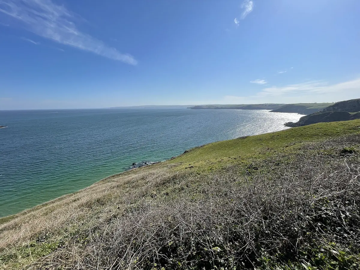
4. Zennor to St Ives
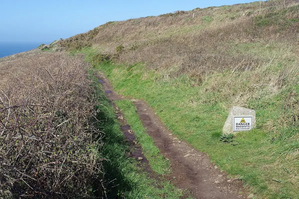
About 6 miles one way · Strenuous
One of the wildest stretches of the whole path: boulder-strewn, remote, and often boggy after rain. There are no facilities between the two ends. Take the bus to Zennor first, then walk back towards St Ives so you finish in town. Leave plenty of daylight.
5. St Anthony Head circular, Roseland
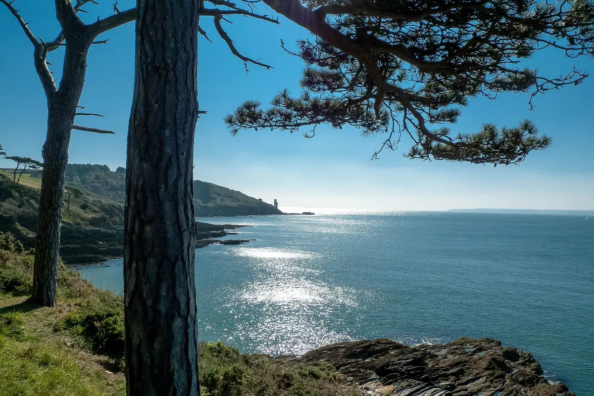
About 5 miles loop · Moderate
A gentler south-coast loop around the Roseland peninsula, with views across the mouth of the Fal to Falmouth and Pendennis Castle. In season you can add a foot ferry between St Mawes and Falmouth.
At a glance
| Walk | Distance | Difficulty | Getting back |
|---|---|---|---|
| Mousehole – Lamorna | ~2.5 mi each way | Easy–moderate | Retrace / seasonal bus |
| Lizard Point – Kynance | ~1.5 mi each way | Easy | Inland loop |
| Port Isaac – Port Quin | ~3.5 mi each way | Strenuous | Retrace / taxi |
| Zennor – St Ives | ~6 mi | Strenuous | Bus out first |
| St Anthony Head | ~5 mi loop | Moderate | Circular |
Coast path safety
- Keep away from cliff edges, which can be undercut and unstable.
- Keep dogs on leads near cliffs and livestock.
- Check the weather. Sea mist rolls in fast, even in summer.
- If someone is in trouble on the cliffs or in the sea, call 999 and ask for the Coastguard.